


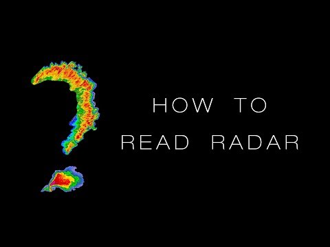
A couple of giant thunderstorms rolled by this last week. Some clouds looked bad. I remembered that java weather sites used to include Nexrad products like a Velocity map.
I looked around for some sites but they all show the same boring stuff: Temps (H,L), Humidity, and a rain map, sometimes animated. I began looking around specifically for a "linux nexrad velocity map" and found wXL23. It's mainly on Android and iOS. However, I found a wxqt version that one can compile on KDE Neon or Kubuntu for themselves. It is at https://gitlab.com/joshua.tee/wxqt
Before you unzip it and run it you must be sure that you have the following packages install:
qtbase5-dev qtchooser qt5-qmake qtbase5-dev-tools
Then cd into the wxqt directory and run ./makeAll.bash
The compile ran without fault on my KDE Neon and when it finished it automatically ran the app, which worked great.
I then made a link to wxqt/run.bash in the KDE Application menu to start it from that launcher, although Joshua Tee, the author, recommends always starting it from the command line.
Works beautifully. can give up to 30 frames of animation and allows nice zooming in or zooming out. It uses L2 is not supported but can be used. It default to L3. The L3 files are usually less than 300Kb, whereas the L2 files can be 3Mb or larger.


Comment